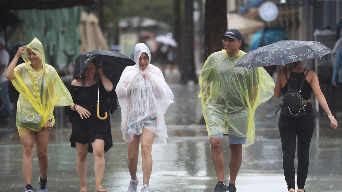
Flood watch in place until Sunday AM around 3 to 6 inches of rain is expected.
Wind Advisory and Gale Warning into Sunday AM.
High Surf Advisory until 7 am Sunday for breakers up to 14 ft.
High Rip Current risks until Sunday evening so even after the rough weather ends, it’ll still be dangerous to get into the water.
The wind has been the most impactful of the last several days. The wind will still remain strong and gusts 40-45+ mph throughout the day. We also start to build in more widespread rain chances.
Today, we are under a level two risk of severe storms out of 5. With the heavy rain coming through, localized flooding and ponding is expected.
A few storms with wind up to 58 mph is possible along with a few isolated waterspouts or weak tornadoes are also possible.
This morning, there have been scattered showers but they are quick moving. The light steady rain looks to fill in as the morning continues and heavy rain is expected my midday. The most active and most intense weather looks to come through during the afternoon and evening hours. Things should be improving by midnight.
Sunday morning, we still have a chance for lingering showers as the cold front swings through. This will bring back dry air by the afternoon and much improved condition into next week.
A reinforcing front comes through Tuesday and this will drop our temps! Overnight lows back in the 50s and highs in the upper 60s to low 70s! But until then, we have to get through a nasty Saturday.

Amanda Smith is a dedicated U.S. correspondent with a passion for uncovering the stories that shape the nation. With a background in political science, she provides in-depth analysis and insightful commentary on domestic affairs, ensuring readers are well-informed about the latest developments across the United States.


