MINNEAPOLIS — After a relatively quiet winter season, Minnesota will be welcoming two rounds of significant spring snow over the coming days. In fact, the Twin Cities could get half or more of the season’s current snowfall total by Tuesday.
WEATHER RESOURCES: More weather coverage | Animated radars
Here’s what we know so far about both storms and potential snow totals when it’s all said and done.
First storm: Mostly snowing during overnight hours
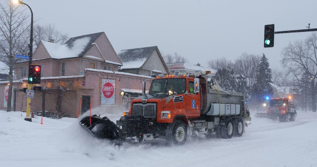
The first weather system is expected to bring light snow to western Minnesota beginning around 7 p.m. Thursday. It is expected to make an appearance in the Twin Cities by 9 p.m.
WCCO
Most of the steady snow will occur in the overnight hours, with 2-4 inches of snow possible for most of Minnesota. Some areas could potentially see even more.
The storm system is expected to exit Minnesota by Friday morning. Due to travel impacts, especially on untreated roads, there will be a NEXT Drive Alert for the a.m. commute.
As the storm clears out, so too will clouds, so expect to see some sunshine Friday afternoon and evening. That should help melt some of the accumulated snow.
WCCO
Second storm: Even more snow (plus rain) Sunday-Tuesday
Saturday is expected to be mostly quiet, but there is the potential for precipitation in southern Minnesota in the afternoon.
Things will really pick up again by Sunday afternoon, with steady snow and strong winds.
RELATED: MSP Airport, MnDOT prep for 1-2 punch of spring break and snowstorms
Compared to the relatively brief first storm event, the second round will be much longer in duration, contain more moisture, and bring higher precipitation chances lasting into Tuesday.
WCCO
That means even more snow is possible during this second system.
There will also be some rain involved on Monday, but there is yet no consistency in the forecast when it comes to how much rain vs. snow there will be.
The impacts of this second system will be poor travel conditions on Sunday and Monday morning. It’s still under question what impacts will linger into Tuesday and beyond.
So, how much snow will we get by Tuesday?
As of Thursday afternoon, the Twin Cities has recorded 14.3 inches of snow this wintry season, with February being the snowiest month so far at 7 inches. Only a trace amount of snow has been recorded in March, but that’s about to change.
WCCO
A clearer forecast of the second storm’s snow totals will come into view after the first event is over, but based on what we’re seeing already, it could bring in even more snow than the first.
MORE: Xcel Energy urging customers to prep for multi-day March snowstorm
That means some areas could see several inches of snow by Friday and then another several by Tuesday.
If 7 inches or more of snow falls in the Twin Cities by the end of the second system, it would make March the snowiest month of the season in the metro. Anything over 7.2 inches will account for more than half of the season’s snowfall total recorded thus far.
The NEXT Weather team is diligently monitoring both storm events, including potential snowfall totals, so check back on WCCO.com for the latest.
WCCO

Amanda Smith is a dedicated U.S. correspondent with a passion for uncovering the stories that shape the nation. With a background in political science, she provides in-depth analysis and insightful commentary on domestic affairs, ensuring readers are well-informed about the latest developments across the United States.