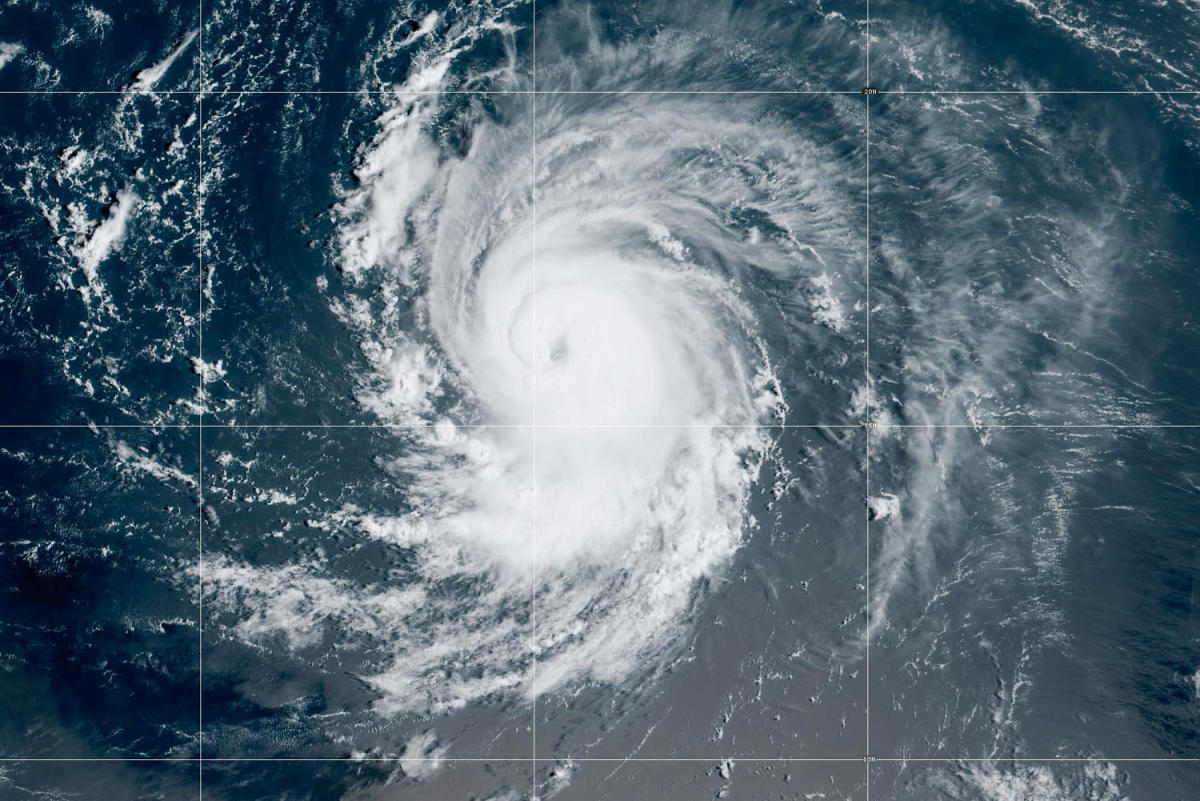
In the highest hurricane season forecast they have ever released in May, National Oceanographic and Atmospheric Administration forecasters said Thursday that the coming months may be exceptionally busy.
“The forecast for named storms, hurricanes and major hurricanes is the highest NOAA has ever issued for the May outlook,” Rick Spinrad, the agency’s administrator, said in a news conference. “This season is looking to be an extraordinary one in a number of ways.”
NOAA predicts eight to 13 hurricanes and 17 to 25 named storms. Storms get names when their wind speeds reach 39 mph or higher.
Given the near-record warmth in much of the Atlantic Ocean and a strong chance of La Niña conditions, forecasters said there is an 85% chance of an above-normal season along the Atlantic seaboard.
“All the ingredients are definitely in place to have an active season,” said Ken Graham, the director of the National Weather Service.
Hurricane season begins June 1 and ends November 30. It typically starts to peak in late summer and early fall.
Global warming increases hurricanes’ propensity for damaging effects. A warmer atmosphere makes the storms more likely to rapidly pick up wind speed as they near the shore. And when storms make landfall, climate change is increasing the probability they will stall and drop rainfall at extreme rates.
NOAA is far from alone in making such a prediction for this hurricane season.
Nearly every public, private and government hurricane forecast service is expecting a high season for hurricanes and named storms, according to a website operated by Colorado State University and the Barcelona Supercomputing Center, which tracks predictions each year. The site has aggregated early hurricane forecasts from 23 centers.
The NOAA forecast is in line with the aggregate. On average, the services have predicted 23 named storms, 11 hurricanes and five major hurricanes (the designation given to storms that reach Category 3 or higher, based on their wind speeds).
“When it comes to the number of storms, that would be the third most on record,” said Philip Klotzbach, a meteorologist at Colorado State University who specializes in Atlantic basin seasonal hurricane forecasts.
In 2020, there were 30 named storms, the most in observed history. Twelve of the storms made landfall in the United States and every mile of the mainland Atlantic coast was placed on a hurricane warning or watch at some point during that season, according to Yale Climate Connections.
Last year, 20 named storms formed in the Atlantic, including 7 hurricanes.
It’s unusual to see record sea surface temperatures coincide with a strong chance of La Niña — a natural climate pattern associated with Atlantic hurricane. The combination strengthens forecasters’ confidence that this season could be significant.
“Last year was an interesting season. It was this clash of the Titans. The Atlantic was stupid hot like it is now, but it had a strong El Niño, which would knock down your big storms,” Klotzbach said.
But this year, “the Atlantic is still super hot and El Niño is gone, so everything is pulling the same direction,” he added.
Brian McNoldy, a senior research associate at the University of Miami, said it’s hard to find years in the past with comparable conditions.
“We’ve never had a La Niña with ocean temperatures this warm in the Atlantic before. There’s not a historical year to look back to,” he said. “We’re certainly in uncharted territory. As someone who lives on a fairly hurricane-prone part of the coastline, I’m not too excited about it.”
Worldwide, sea surface temperatures have remained record hot for more than a year. McNoldy said Caribbean temperatures are warmer in May than they are at peak in a typical year. In the tropical east Atlantic, temperatures today are comparable to what’s normal for August.
Record sea surface temperatures could fuel rapid intensification, a phenomenon in which hurricane winds ramp up suddenly as the storm nears shore. Climate change makes that process more likely.
A study last year found that tropical cyclones in the Atlantic Ocean were about 29% more likely to undergo rapid intensification from 2001 to 2020, compared to 1971 to 1990. Hurricane Idalia, which strengthened from Category 1 to Category 4 in just 24 hours, is a good example.
The trend makes hurricane preparations more challenging — officials have less time to warn communities, deploy emergency resources and help people evacuate.
The high forecast doesn’t necessarily mean that a strong hurricane will make landfall in the U.S., however.
“We have no idea where the storms are going to go, but in general when you throw a heckuva lot of darts at the board — one of them starts to stick,” Klotzbach said.
This article was originally published on NBCNews.com

Dr. Sarah Adams is a scientist and science communicator who makes complex topics accessible to all. Her articles explore breakthroughs in various scientific disciplines, from space exploration to cutting-edge research.