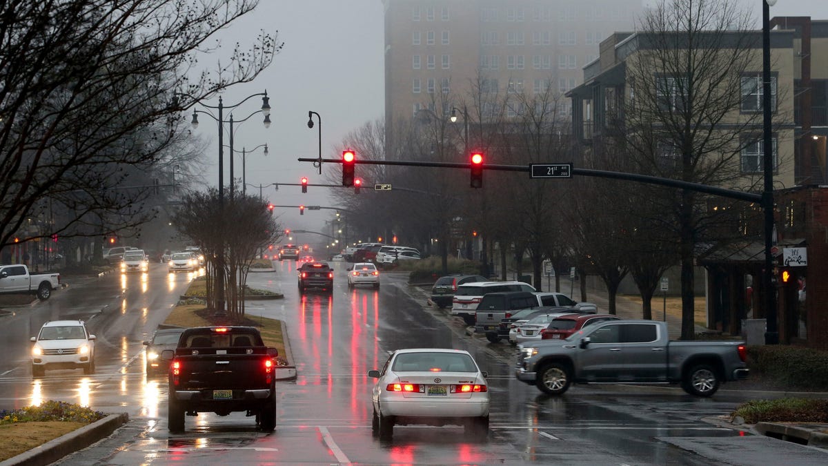
Heavy rain and possible severe weather is expected to develop over the Lower Mississippi Valley, the Gulf states and the Southeast on Saturday, according to the National Weather Service.
Parts of the Deep South and Southeast face slight risks of severe weather, with concerns of flooding and tornadoes.
In Tennessee, strong downpours and thunderstorms could bring damaging wind gusts Saturday, as well as overnight flash flooding. Some storms may be strong to severe Saturday with damaging wind gusts as the main concern.
A few tornadoes may accompany wind gusts and the storm in Alabama, according to the service. A flood watch will be in effect for all of Central Alabama until 3 p.m. CST Saturday.
“We are most concerned with heavier rainfall from our southwest counties extending east to northeast to include areas near and south of I-20 and south to the U.S. Highway 80 corridor,” the weather service’s Birmingham, Alabama office wrote.
Alabama weather map
Expect strong winds throughout Ohio Valley, New England
Heavy rain and increasingly strong wind gusts will develop over the Ohio Valley to New England by Saturday evening and Sunday, the service reported.
Forecasters said rain is expected to turn to wet snow from the Great Lakes to northern New England, specifically in the higher elevations, as cold air wraps around a low pressure center.
“Impacts include potential power outages, slippery travel conditions and renewed river flooding,” the service’s Albany, New York office report.
US weather watches and warnings
National weather radar

Amanda Smith is a dedicated U.S. correspondent with a passion for uncovering the stories that shape the nation. With a background in political science, she provides in-depth analysis and insightful commentary on domestic affairs, ensuring readers are well-informed about the latest developments across the United States.


