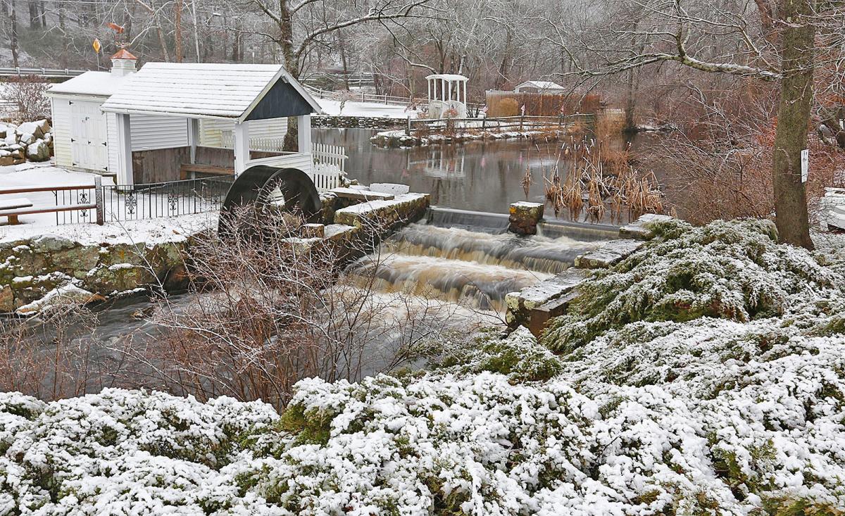
With the days getting longer, soon to follow are the welcoming signs of spring: the chorus of songbirds, the arrival of buds and blossoms and warm(er) weather.
Until then, a few more weeks of winter remain. But it might be smooth sailing for the South Shore as the forecast calls for more milder-than-typical weather.
“It’s been a very warm winter,” said National Weather Service meteorologist Hayden Frank. Snowfall was minimal as well. This was something that forecasters had predicted, he said.
Winter 2024 on the South Shore has been mild
The mean average temperature for January recorded at the Blue Hill Observatory in Milton was 30.1 degrees, colder than 2023 but about 6 degrees warmer than 2022.
While there was 70.4 inches of snow recorded from Dec. 2021 to Feb. 2022 at this meteorological station, just 25.6 inches of snow was recorded during the same three months for the current winter season.
The 7th and 8th of January received the most snowfall of the season, with nearly 7 inches recorded each day. Even the dud of a storm anticipated for Feb. 13 ended up bringing 4.3 inches of snow.
When is the last day of winter?
Meteorological winter runs from December through February. It’s slightly different from the typical season dates marked on our calendars, also known as astronomical seasons, because meteorological seasons are based on the yearly temperature cycle, versus where the Earth is in relation to the sun, according to the National Oceanic and Atmospheric Administration.
The last day of meteorological winter 2024 is Feb. 29. Astronomical winter will end with the vernal equinox, or the first day of spring, which occurs this year on March 19 at 11:06 p.m. Eastern Time.
When do we change the clocks for Daylight Saving Time?
We will roll the clocks forward an hour for Daylight Saving Time before the official start of spring. This will happen Sunday, March 10, at 2 a.m. local time.
What will the weather be on the South Shore for the rest of winter?
At least for this final week of February, anticipate above-normal temperatures with the highs in the mid-50s. That briefly changes starting Wednesday night when cold air moves through the region, bringing an 80% chance of rain and winds clocking in between 28 and 34 mph, according to the National Weather Service forecast office in Norton. Temperatures that night will get to 30 degrees, then 23 degrees Thursday night.
Temperatures will bounce right back to the low 50s this weekend to usher in the new month.
“Overall, the pattern looks to be quite a bit milder than it would be for the first week in March,” Frank said.
Does it snow in Massachusetts in March?
Of course, the end of winter doesn’t truly mean the end of winter weather, as snow could return in March or April.
Over the past four years, the amount of snow that fell in March at the Blue Hill Observatory ranged anywhere from 0.2 inches to 10.6 inches, as was the case last year. In 2018, a nor’easter brought 45.5 inches of snow that month.
“Even if the overall pattern is warm, if the storm tracks correctly and is timed correctly, that’s certainly a possibility,” Frank said.
Hannah Morse covers growth and development for The Patriot Ledger. Contact her at [email protected].
This article originally appeared on The Patriot Ledger: ‘Very warm’ winter for the South Shore in 2024

Amanda Smith is a dedicated U.S. correspondent with a passion for uncovering the stories that shape the nation. With a background in political science, she provides in-depth analysis and insightful commentary on domestic affairs, ensuring readers are well-informed about the latest developments across the United States.


/cdn.vox-cdn.com/uploads/chorus_asset/file/23935558/acastro_STK103__01.jpg)


